One of the coolest parts of Google Maps is that that they have made the
API open to anyone. One cool application is
Housing Maps, which combines Google Maps with Craigslist's housing listings.
But even cooler than that is the
G-Maps Pedometer.
1) Find your city and get zoomed in to where you are going to start.
2) In the left window, click "Clear Points and start over" to make sure there are no points already there.
3) At the top of the left window, click "Start Recording".
4) Double click on your starting point. Now double click along your route until you are finished. At any time, use the "Undo last point" button as many times as needed.
If you want to save a route, you need to click on "Permalink", and then the URL address at in the browser will correspond to your route.
Hybrid and Satellite modes are great for looking for your local trails for non-road running.
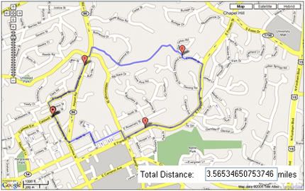
 My old Chapel Hill Loop.
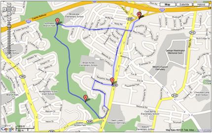
 My current Silver Spring loop. Erti, you can see that trail and river we found
plain as day in the satellite mode.


